Despite being small, full of high rise residential buildings or office blocks, actually there are still so much more that Singapore offers. Me and my friend were doing some adventure to explore this less traveled part of Singapore. This weekend we went to explore the southern part of Singapore that famously known as Southern Ridges. I will tell you the detailed journey in this post.
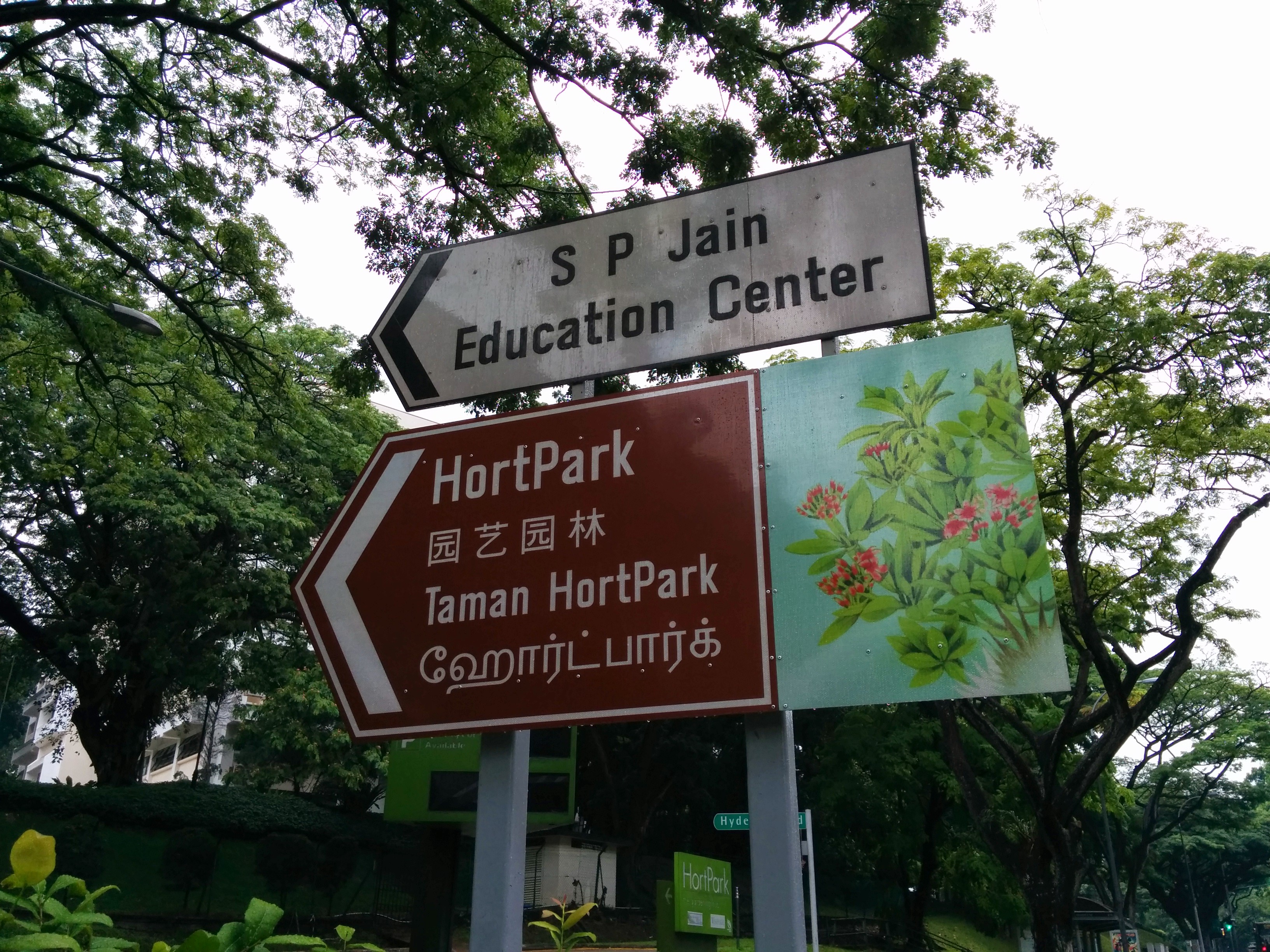
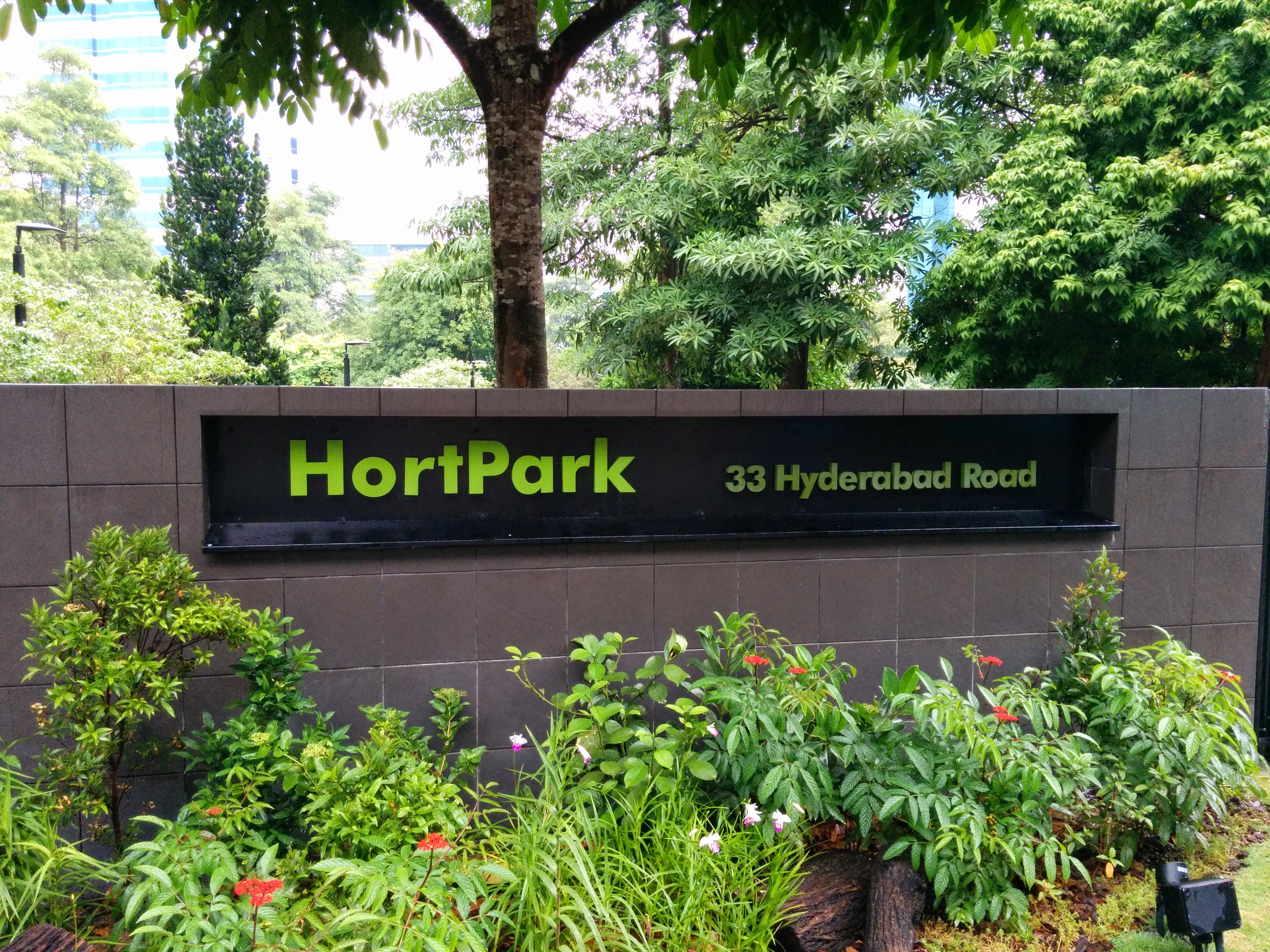
On Saturday, we started from Hort Park that is located on Alexandra Road. Hort Park is dubbed “The Gardening Hub”, due to many gardening workshops being offered there. There are two directions that you can explore. One is to the south, to the Alexandra Arch and the forest walk, and the other is towards Kent Ridge Park. We chose the second one, so we spent around half an hour exploring the Hort Park itself to the end, where there was a trail leading to Kent Ridge Park.

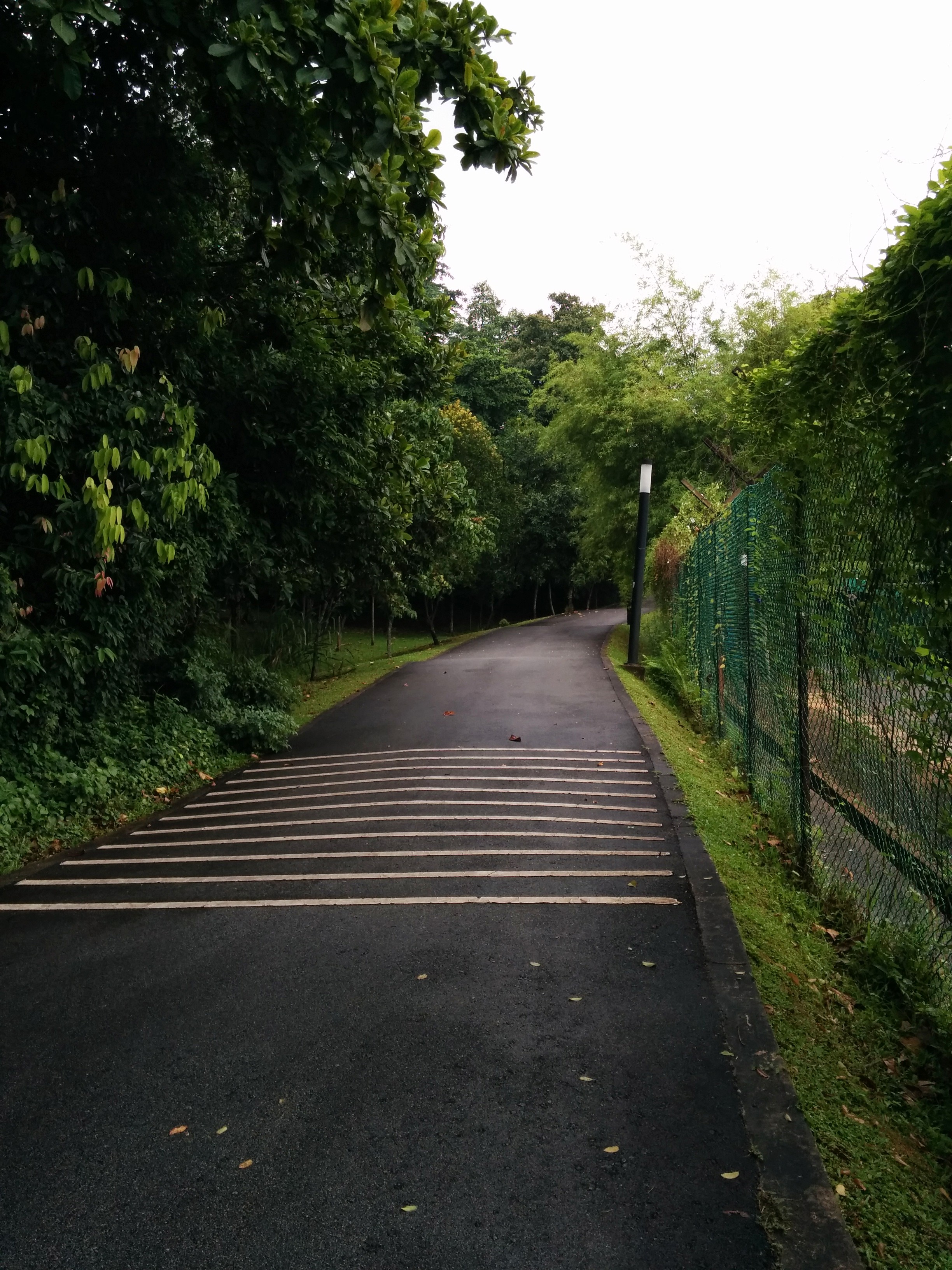
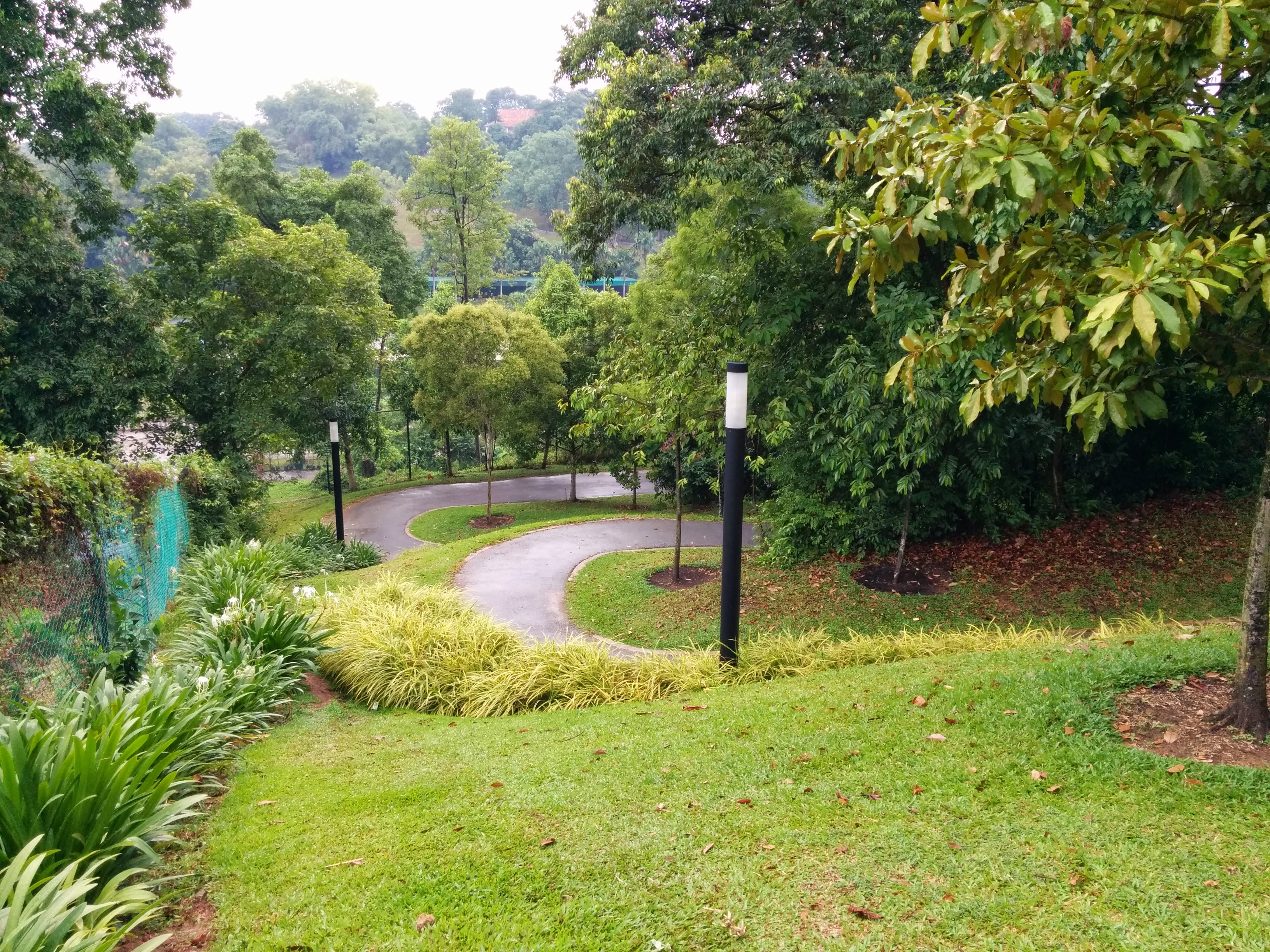
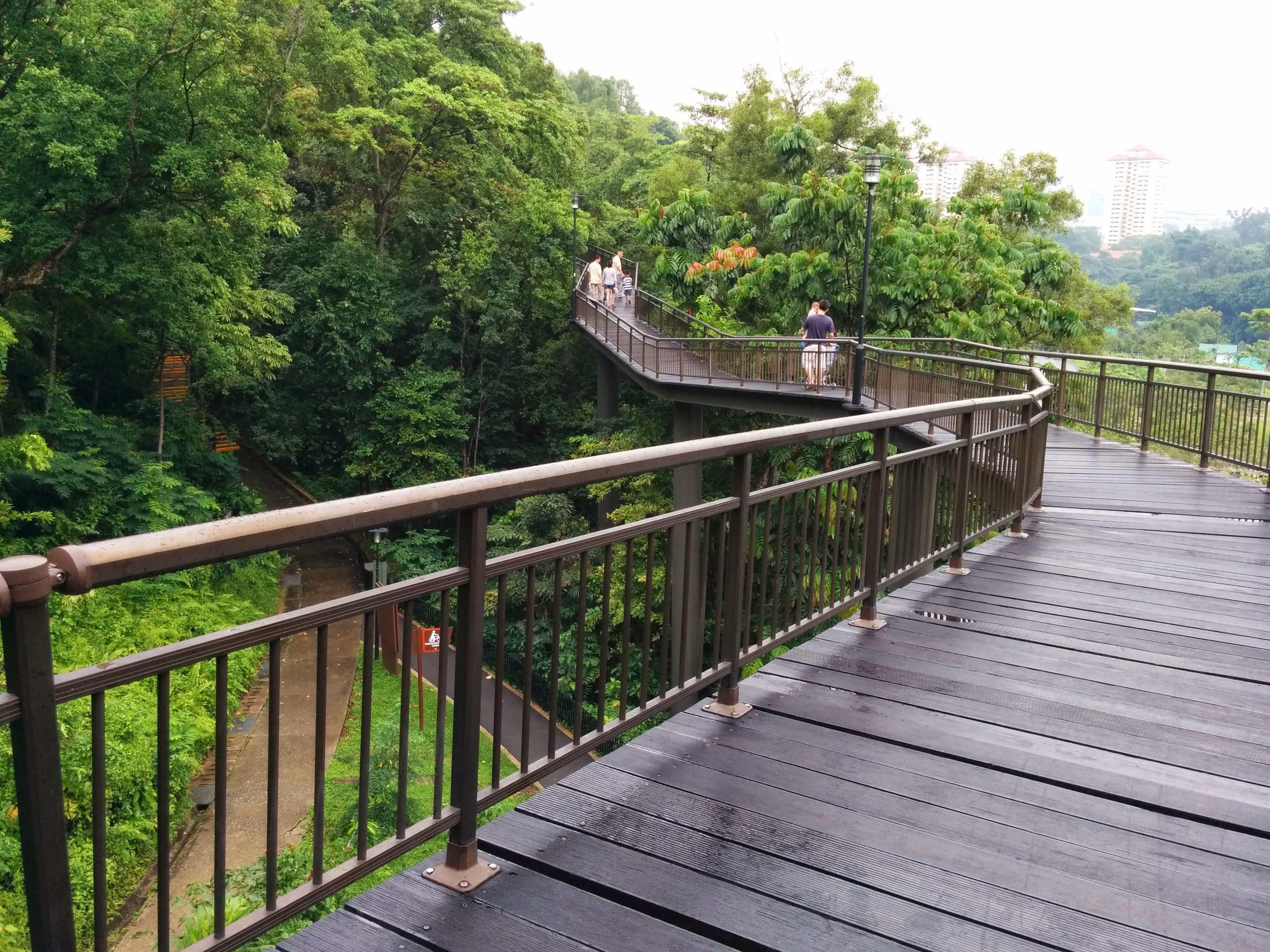
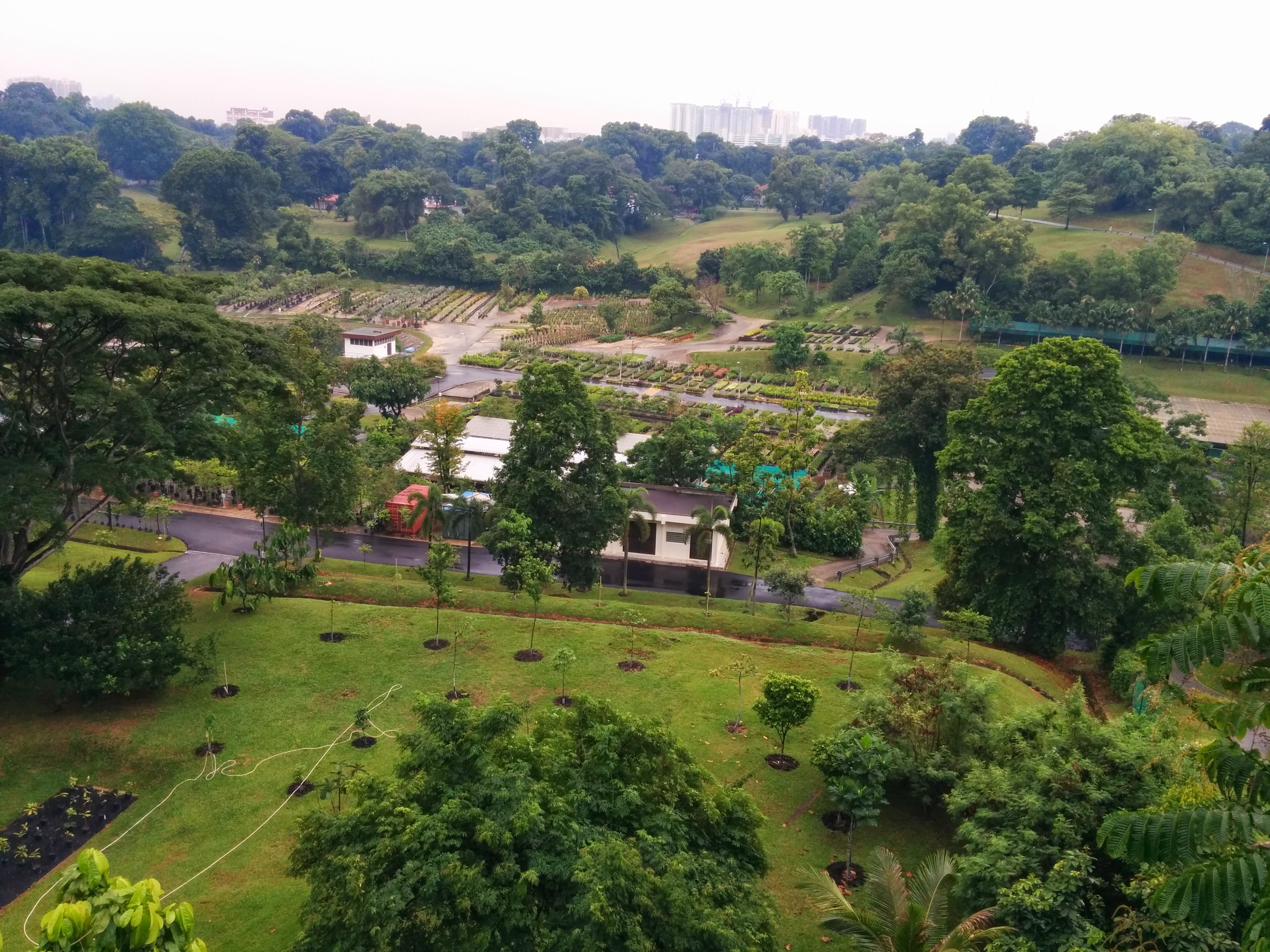
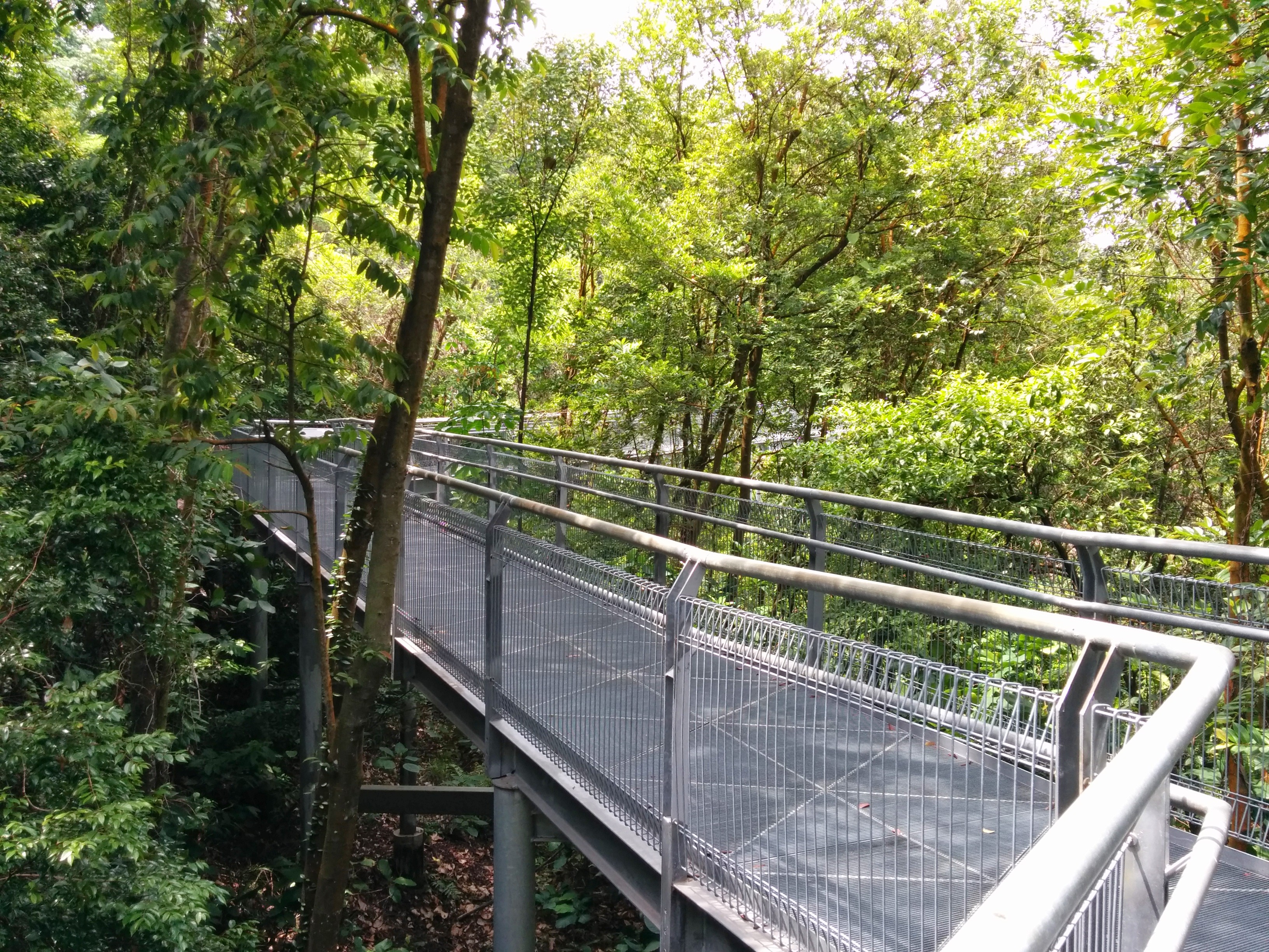
The trail that connects Hort Park and Kent Ridge Park was very quiet, and the scenery was great. It was an uphill hike though if you come from Hort Park, so be ready for it. At the end of the trail you can see the Canopy Walk easily, which was a wooden bridge spanning above the top of the trees. This Canopy Walk is very cool and you can get a wide view of some flower planting facilities below. At the end of the bridge there was a trail, if you continue all the way I believe you can reach NUS, although we didn’t pursue that path.
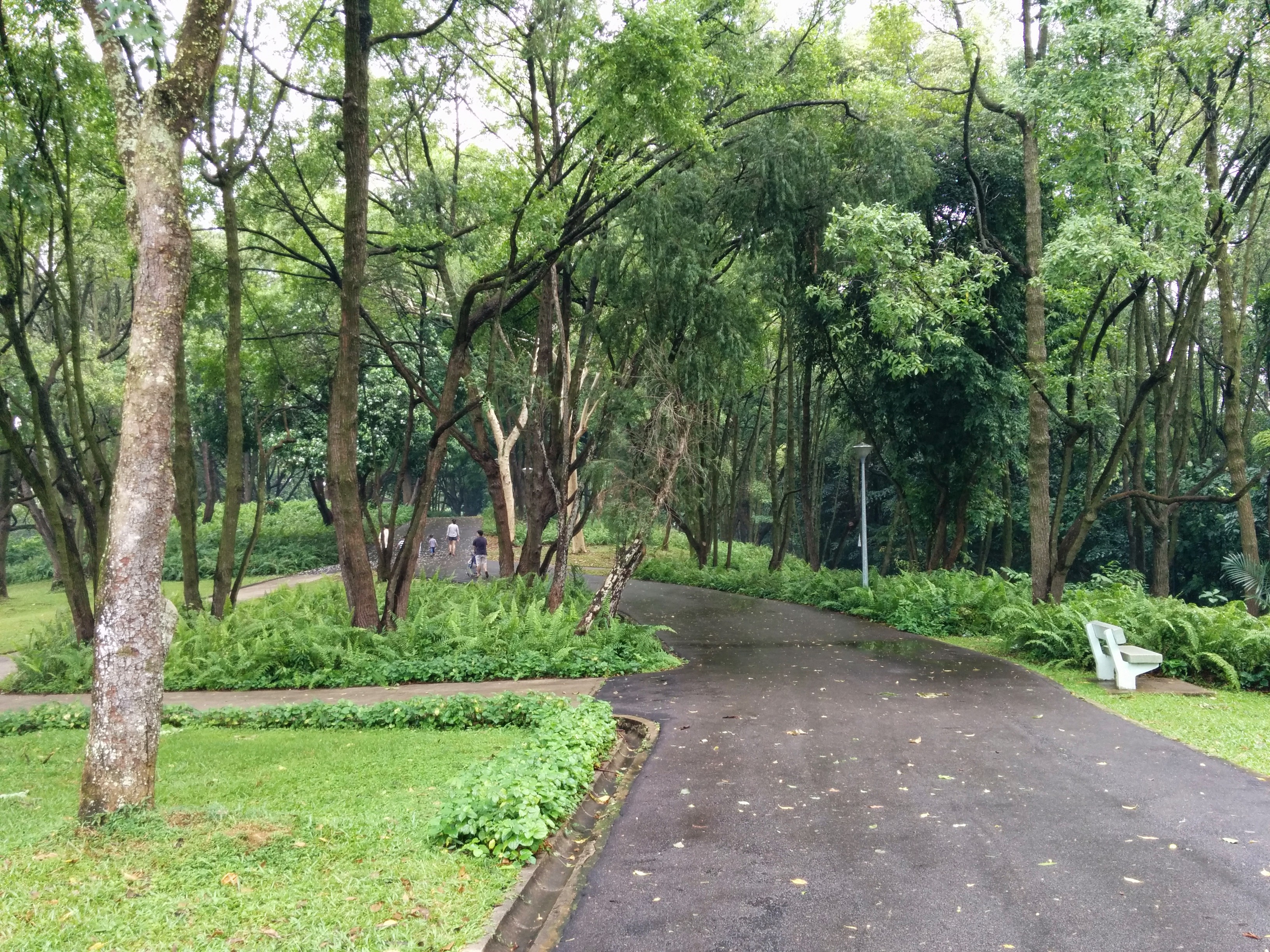
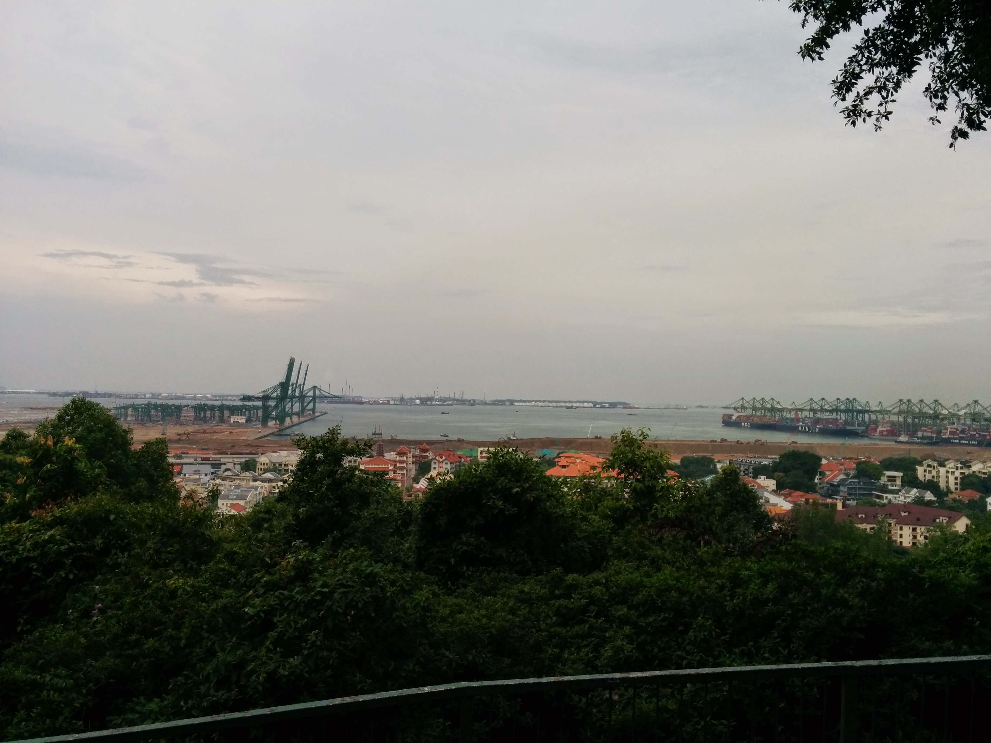
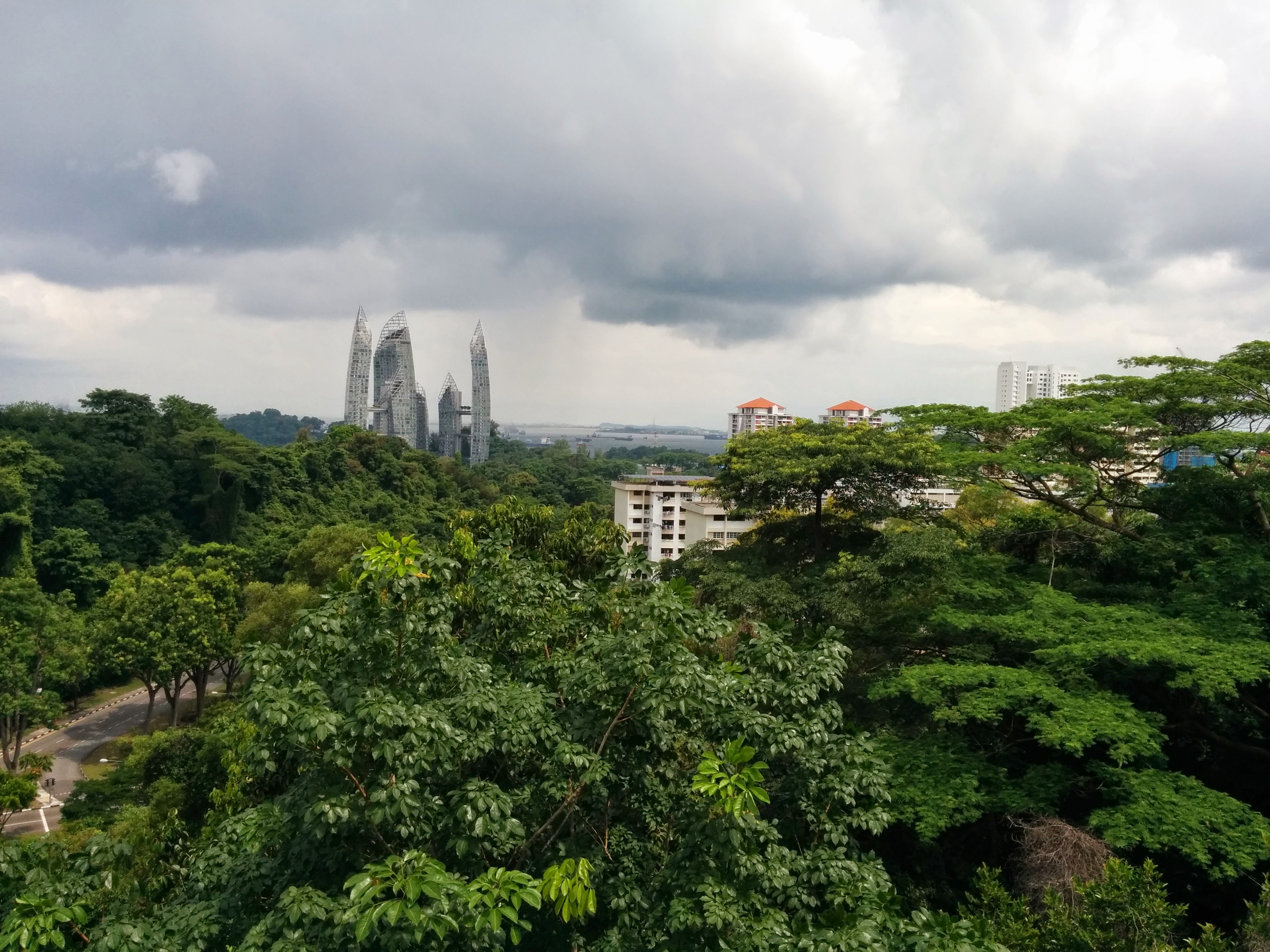
Kent Ridge Park is quite big, and even quieter than Hort Park. There was a lookout point somewhere there, where you can view the islands on the south of Singapore, which was really cool. The park navigation was a little bit confusing, so we ended up in the wrong exit, a path towards DSO carpark at Science Park Drive. It was good to see main roads again, yes, however there was this empty feeling inside looking at office clusters on weekend!
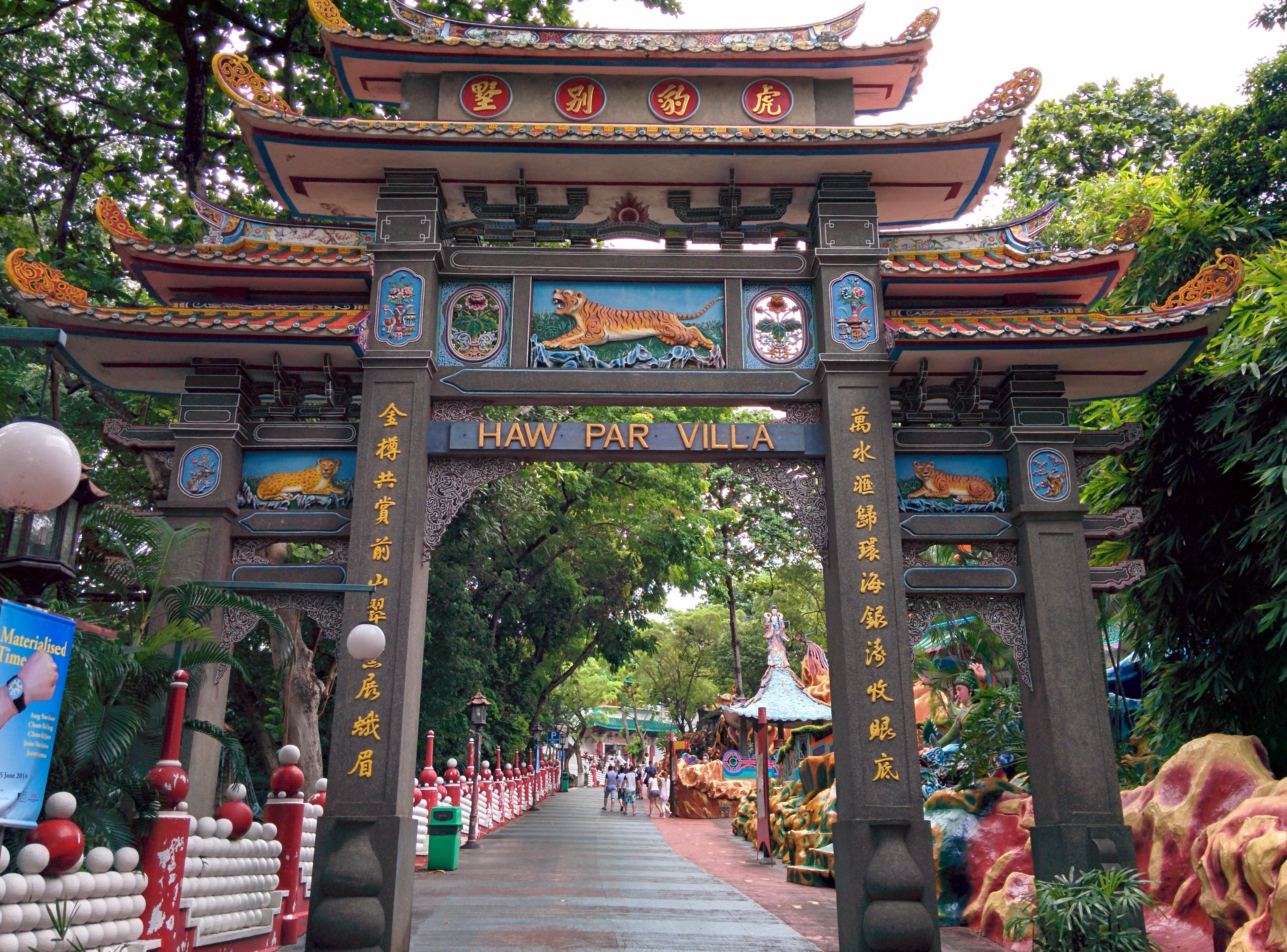
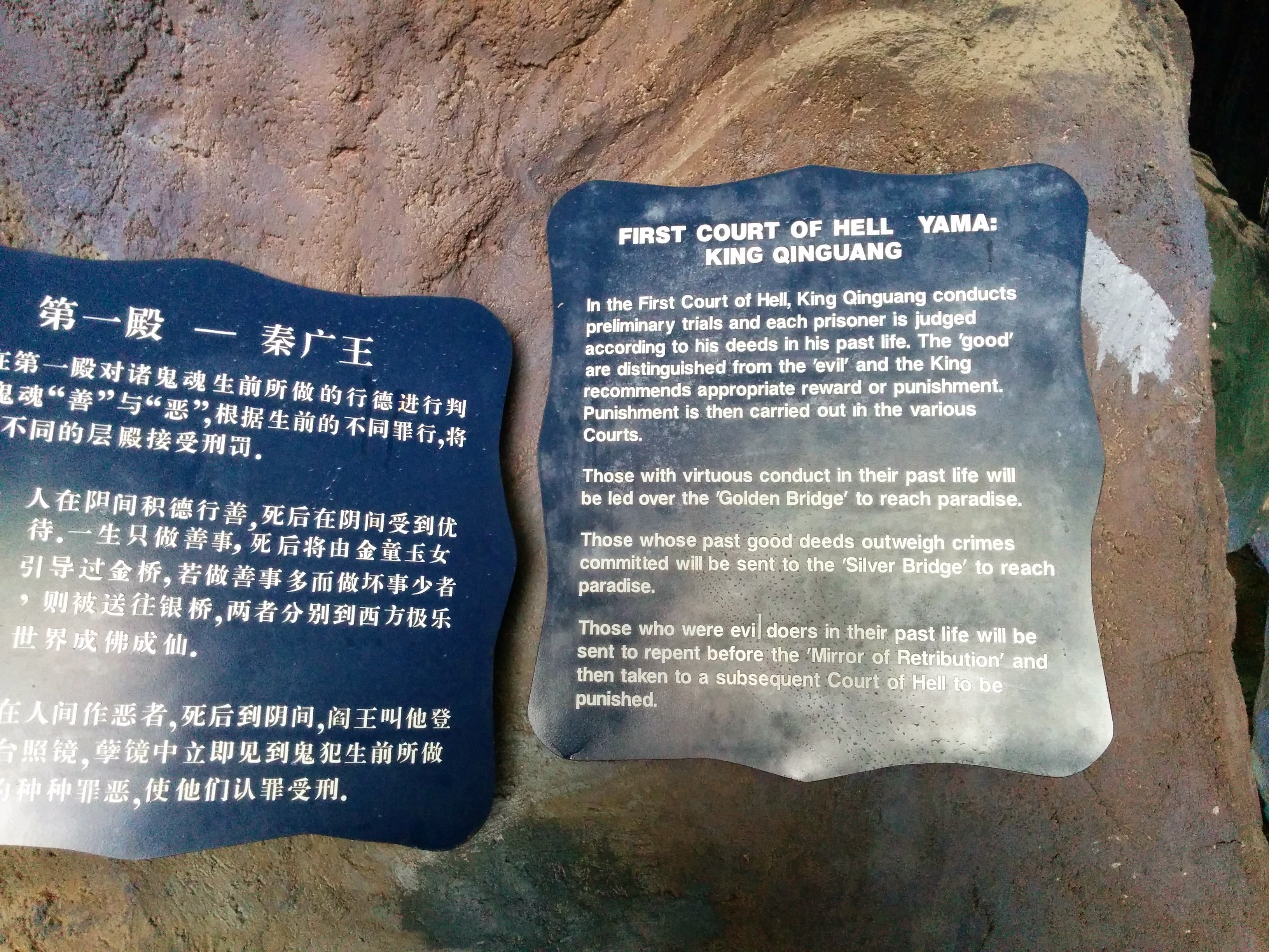
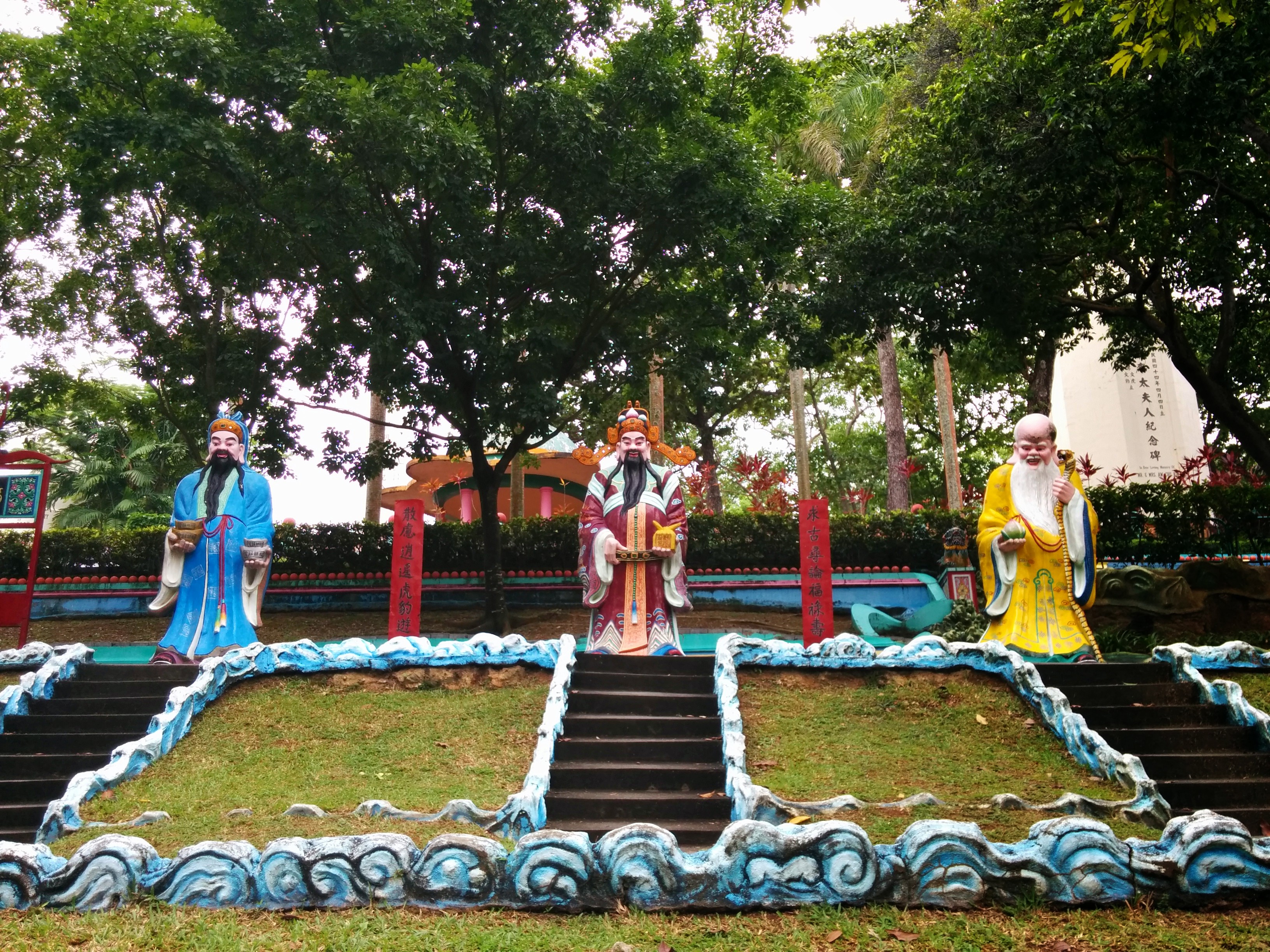
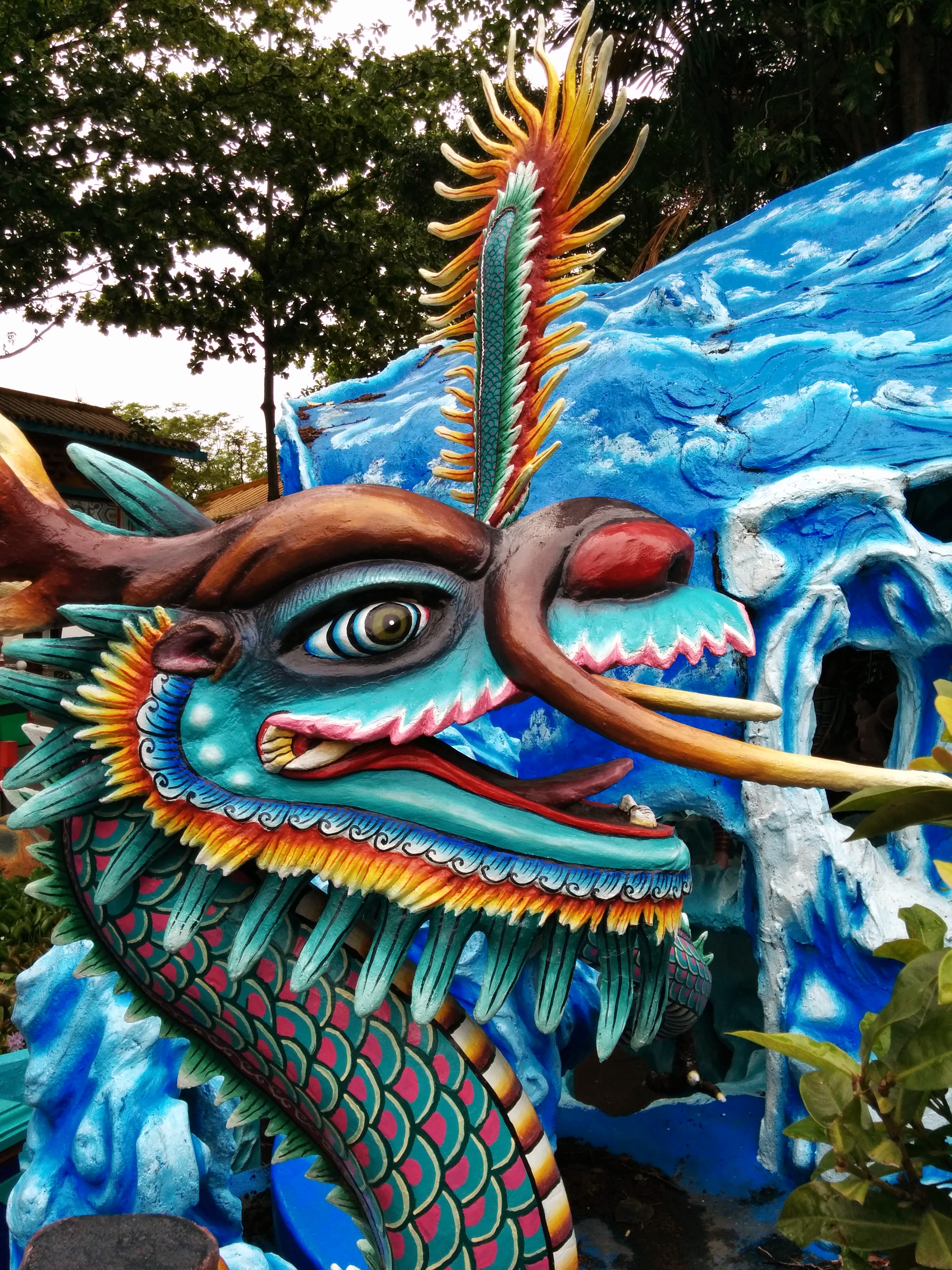
We walked to Kent Ridge MRT nearby, and took a ride to Haw Par Villa MRT. The good thing about being a tourist in your own country is that you are proficient with the public transport systems! Our next destination was Haw Par Villa. This is some kind of park, but not your ordinary one. It is more like a cultural-themed park. The theme of the Haw Par Villa is about the Chinese culture of Gods. Things like 10 stages of Hell, the Gods of wealth and prosperity, etc. Here’s a couple of photos from Haw Par Villa.
Around Haw Par Villa there wasn’t any visible affordable eating place, so we decided to just reroute to Harbourfront MRT and ate lunch at VivoCity. An hour in an air conditioning place after walking in the open air for almost 3 hours was such a bliss. We took circle line MRT to Labrador Park and we walked to Labrador Nature Reserve. The place was a little bit hidden from the main road, so you have to walk around 15 minutes in, which was quite unconvincing at first since you can’t see any other people/cars/buses going in. We always doubted “Is this the correct way?” but to our relief we finally really reached the place!

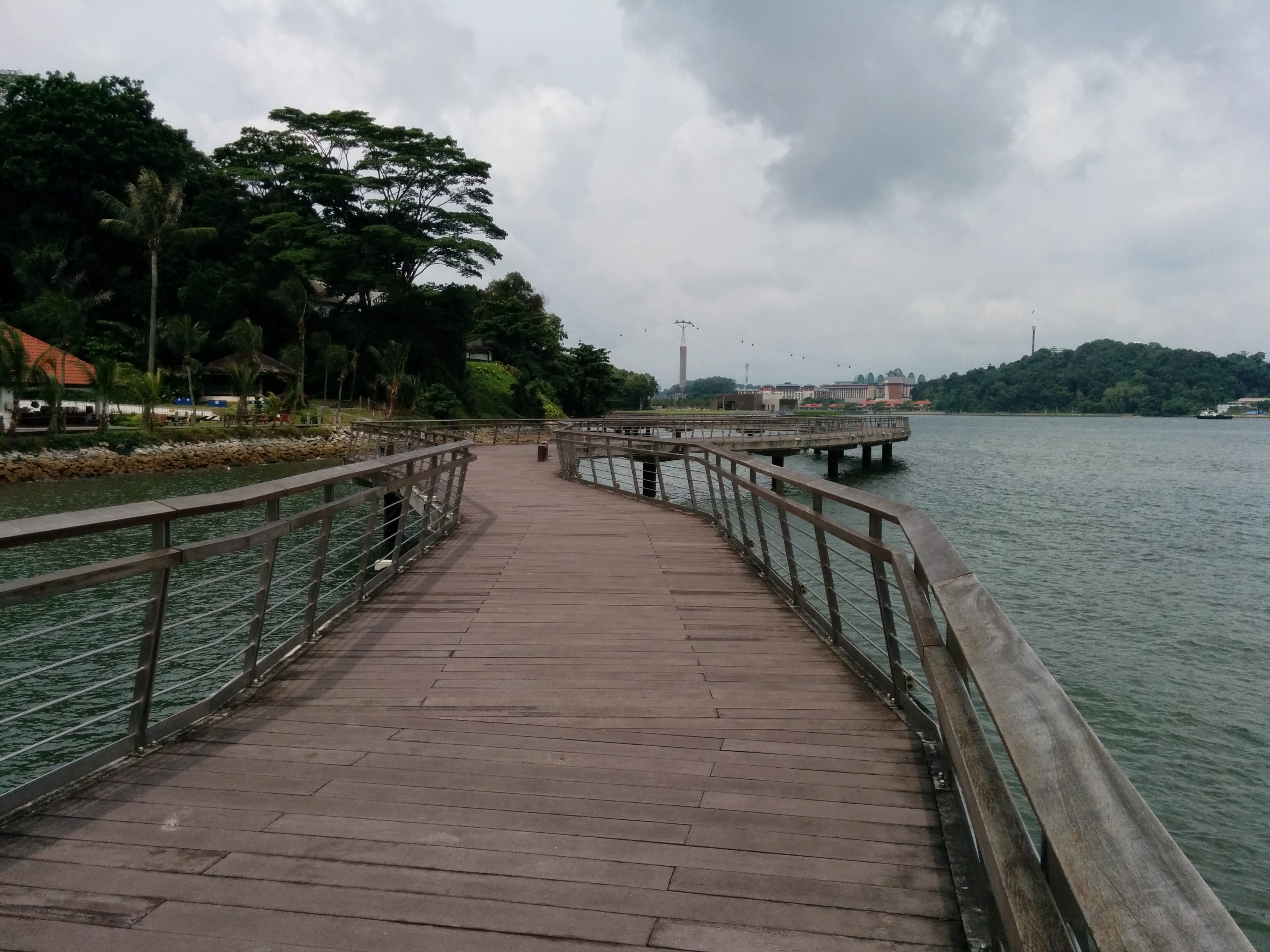
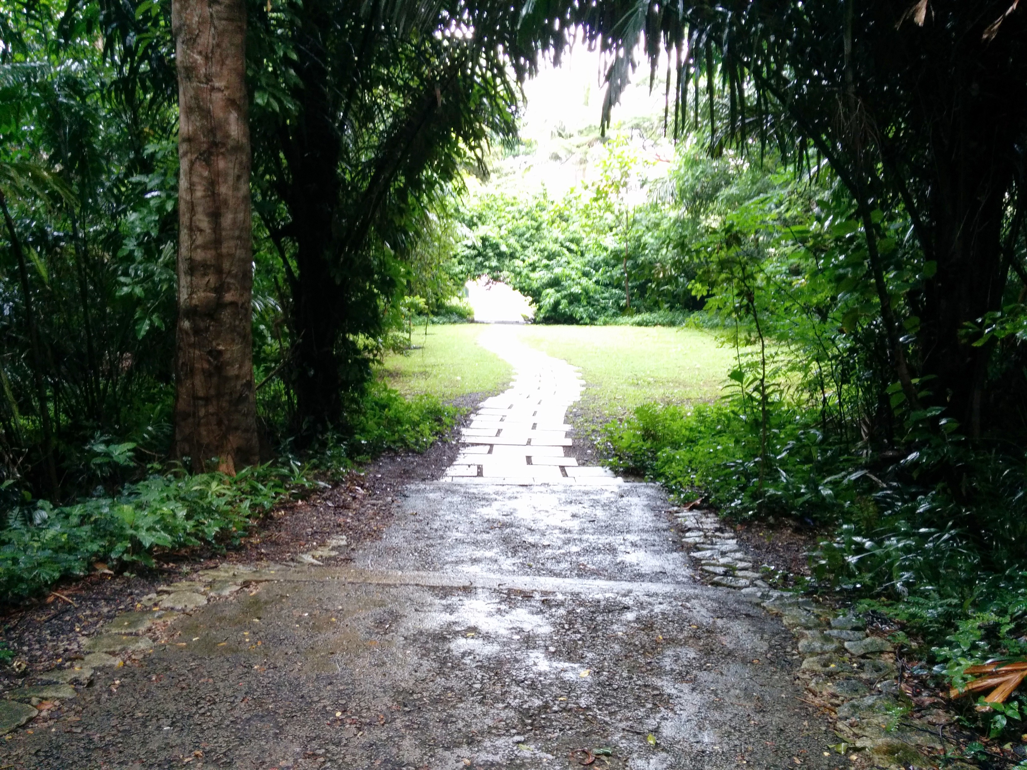
Labrador Nature Reserve was divided into 2 parts, the Nature Reserve on the right (that should be the west) and the Park on the left. It is situated just before the sea, so the view and the wind overlooking the sea was breathtakingly AWESOME. Since the place was remote, it was not as crowded as Sentosa or East Coast Park, making it a good place to have a family picnic or some sort. Unfortunately we didn’t have the time to explore the whole place, so we decided to check out the Park, because we saw a long bridge/walkway above the seashore far away, and it looked interesting. So off we go!
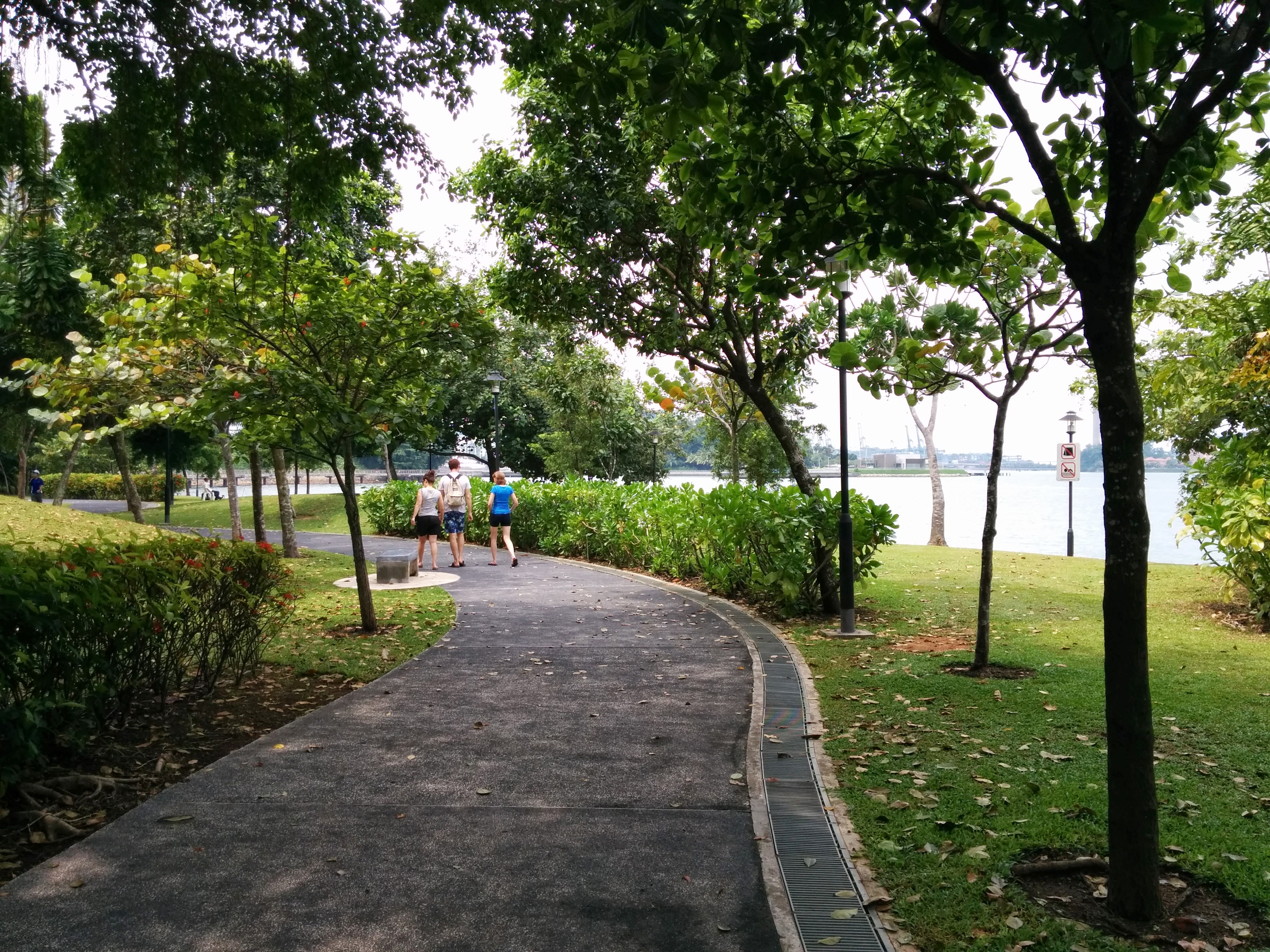
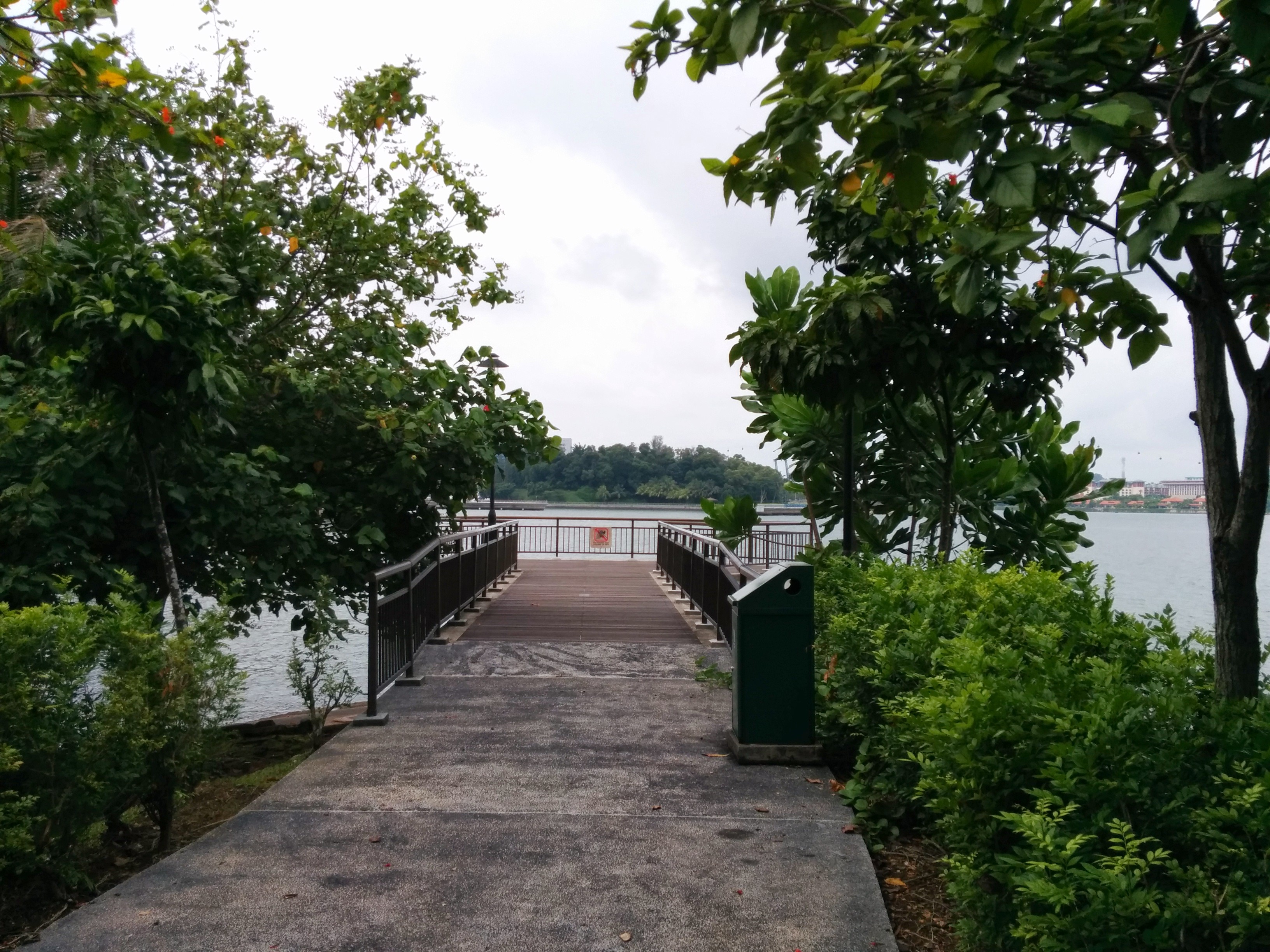
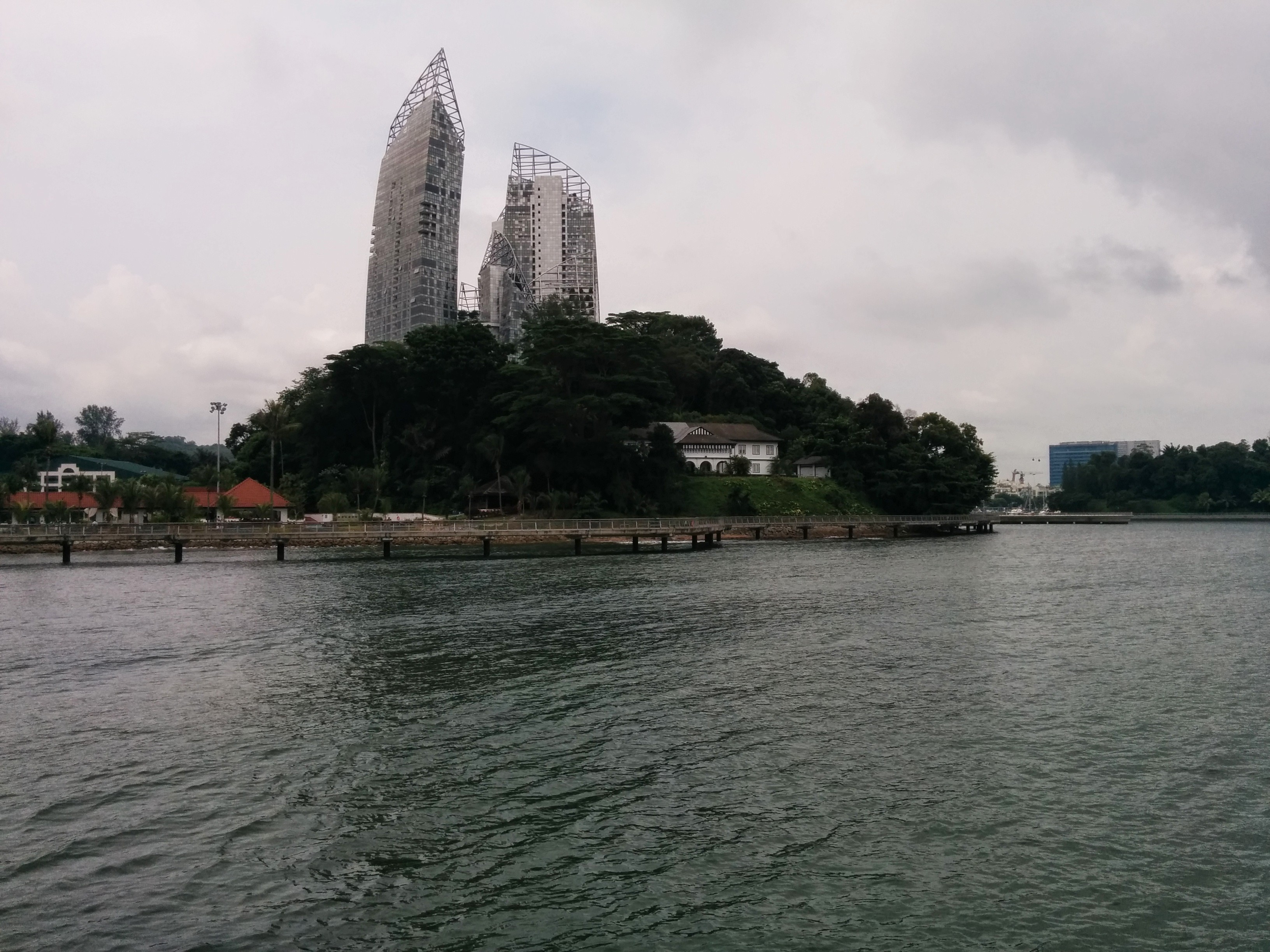
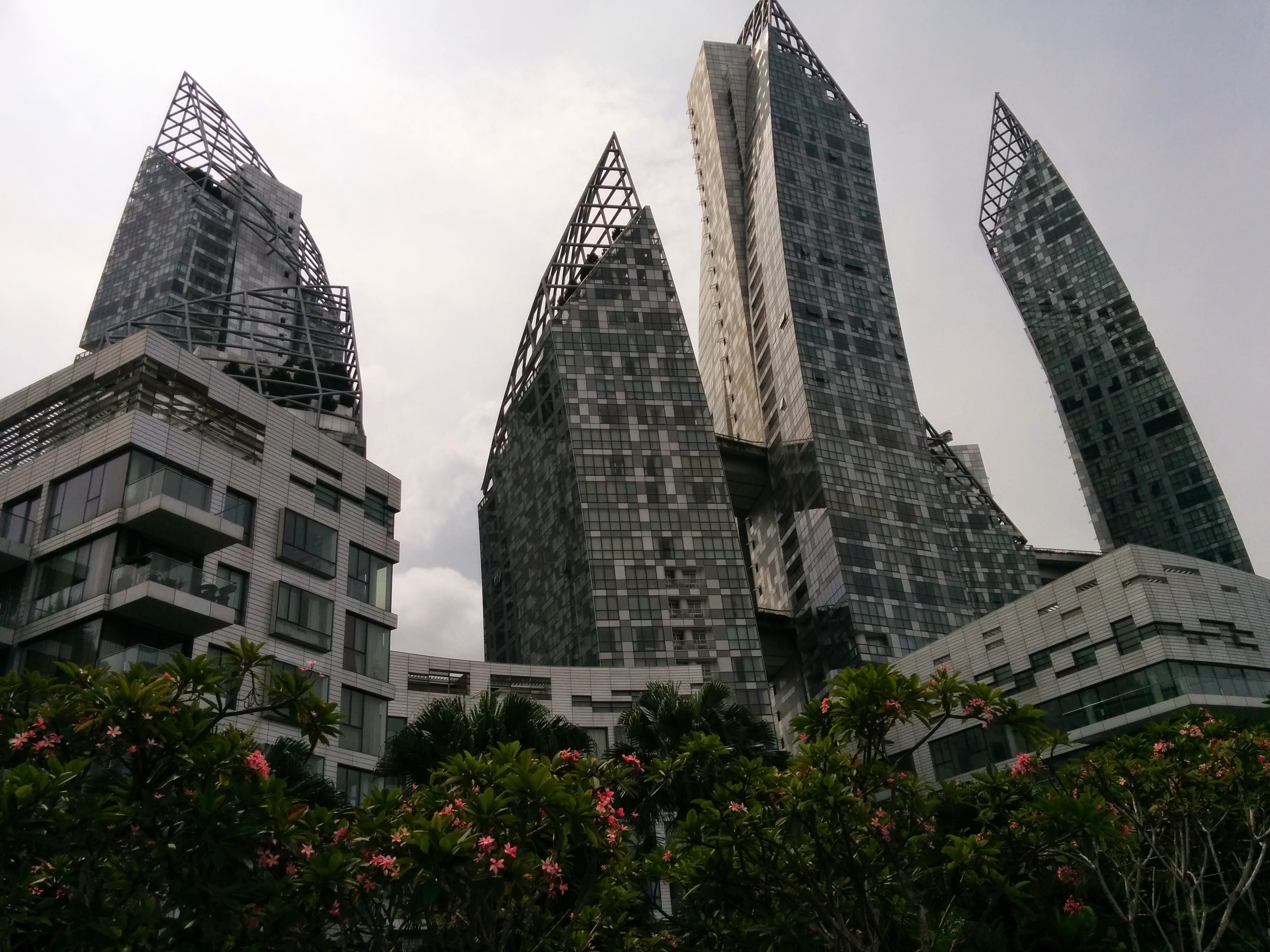
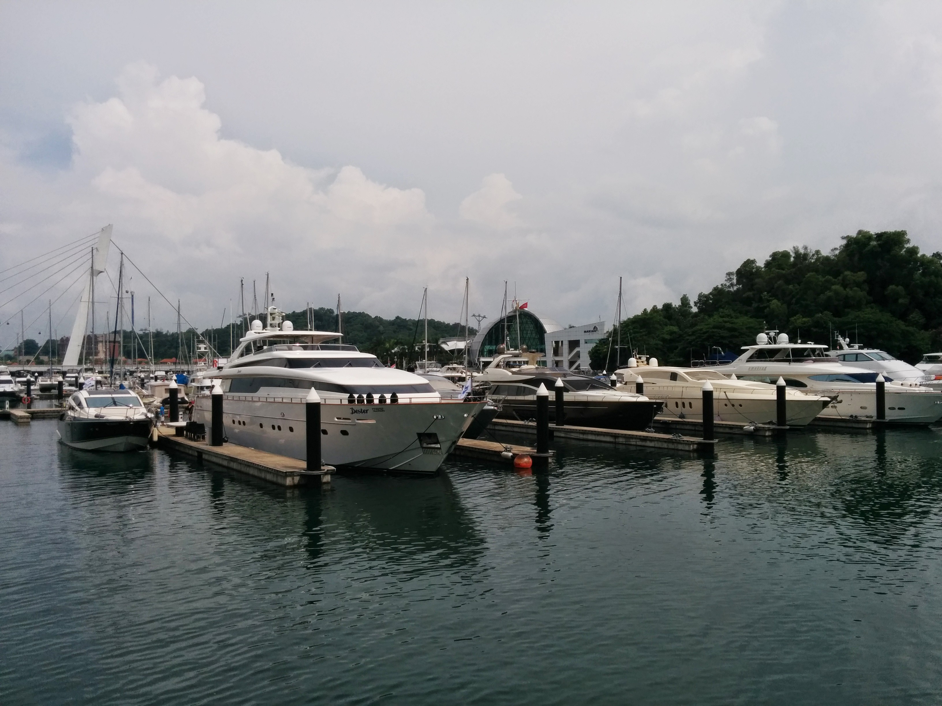
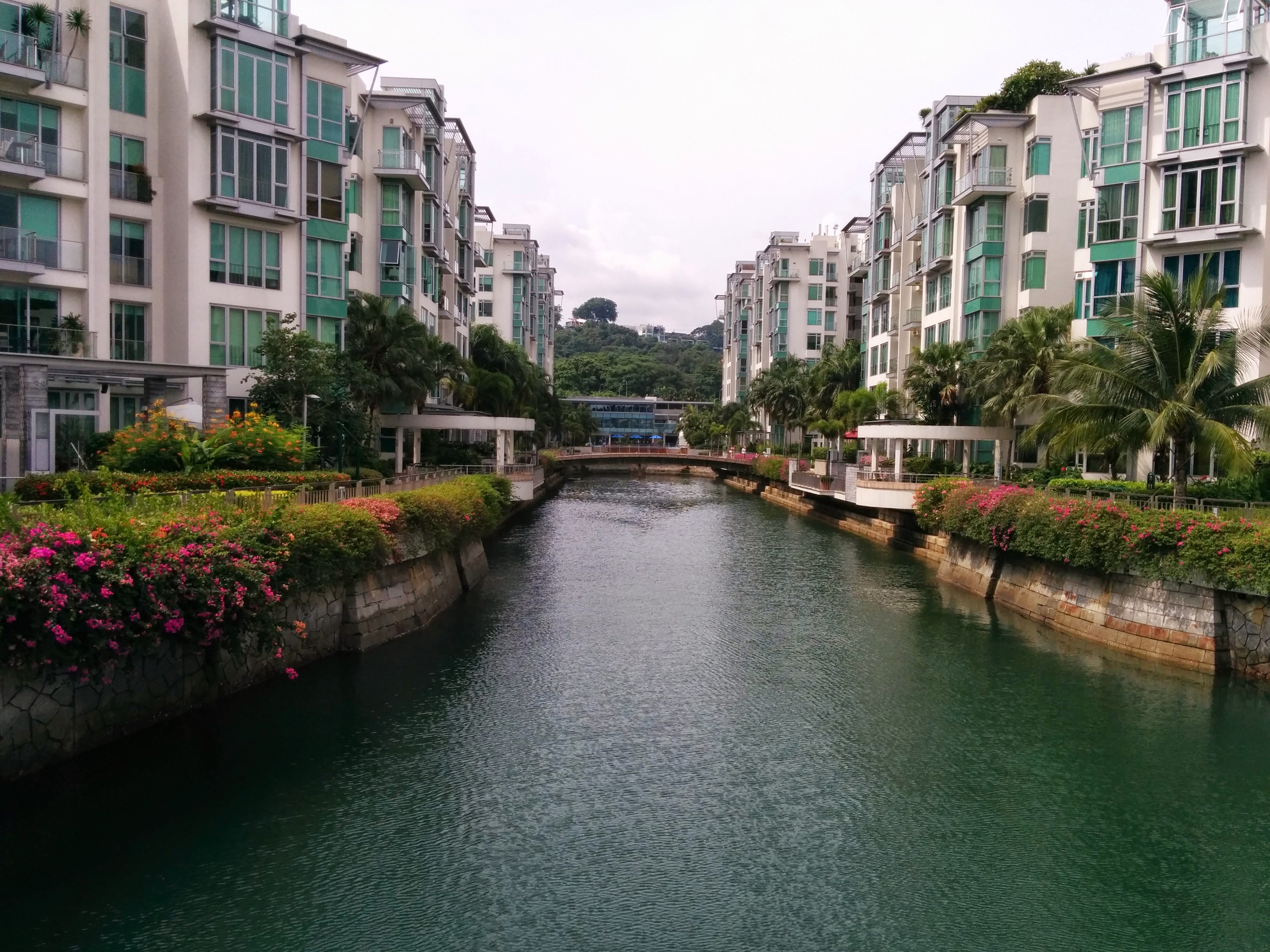
The walkway began at the end of the park, and we only learned that we were walking along the Keppel Bay. The walkway was overlooking the Keppel Bay on our right and the highest, most luxurious residential place in Singapore on our left. How luxurious is luxurious? You may think that if you own a condominium unit and have your own car in Singapore, you are already considered rich. However this place (Reflection and Carribean) is on another level. Imagine having a yacht parked in front of your condominium. That is the level. There is no front yard, but a front bay full of parked yachts, like in Monaco. There were canals too as in Venice, separating the blocks. You want to experience Venice and Monaco but have no money to do so? Just walk along the Keppel Bay walkway! 😀 The walkway turned out to be ending just beside VivoCIty and that concludes our Saturday.
Sunday
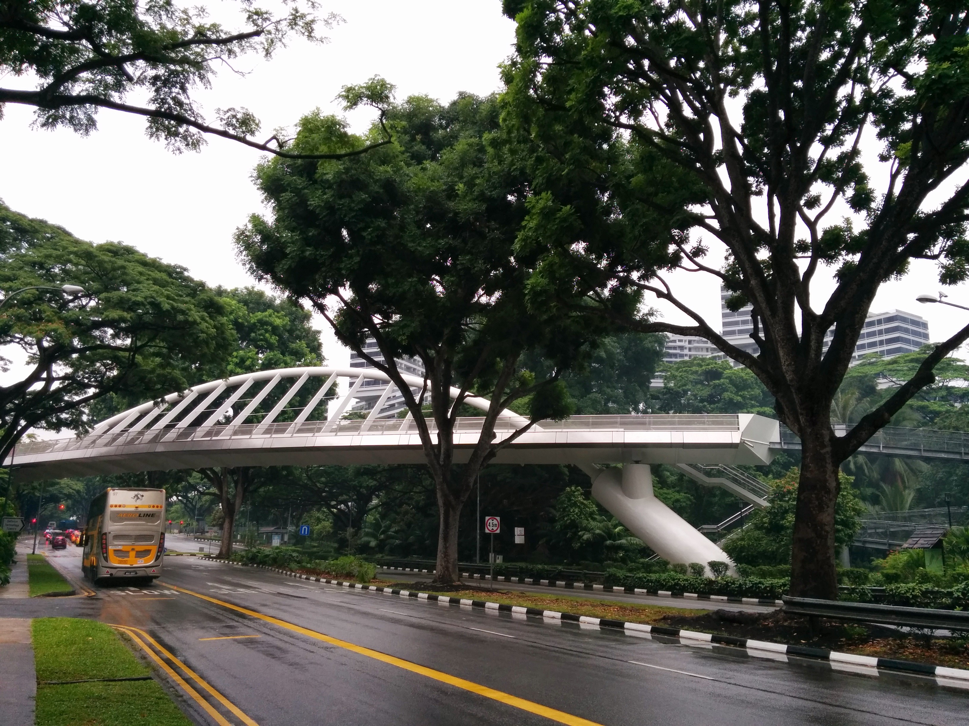
On Sunday, we started from Hort Park again, but we went the opposite direction. You will definitely not miss the Alexandra Arch, a huge overhead bridge across the Alexandra Road. This marked the start of Alexandra Garden Trail. It continued to a long section named Forest Walk, which was literally true, because you really walked through the top of the forest. Some part of the walkway was quite high above the ground. It was a long walk but certainly a very interesting one!
The end of the Forest Walk is the entrance of Telok Blangah Hill Park. On this park we took a climb to the Hilltop Terrace, the highest point of the park where you can see the southern sea of Singapore. The park itself was quite big and for some reason we can’t find adequate maps/directions, so we have to figure out our ways ourselves. Fortunately the way to Mount Faber/Henderson Waves was quite clearly marked so we have no difficulties in going towards that direction.
https://plus.google.com/117136329312300820964/posts/8Uznin5ZzPq
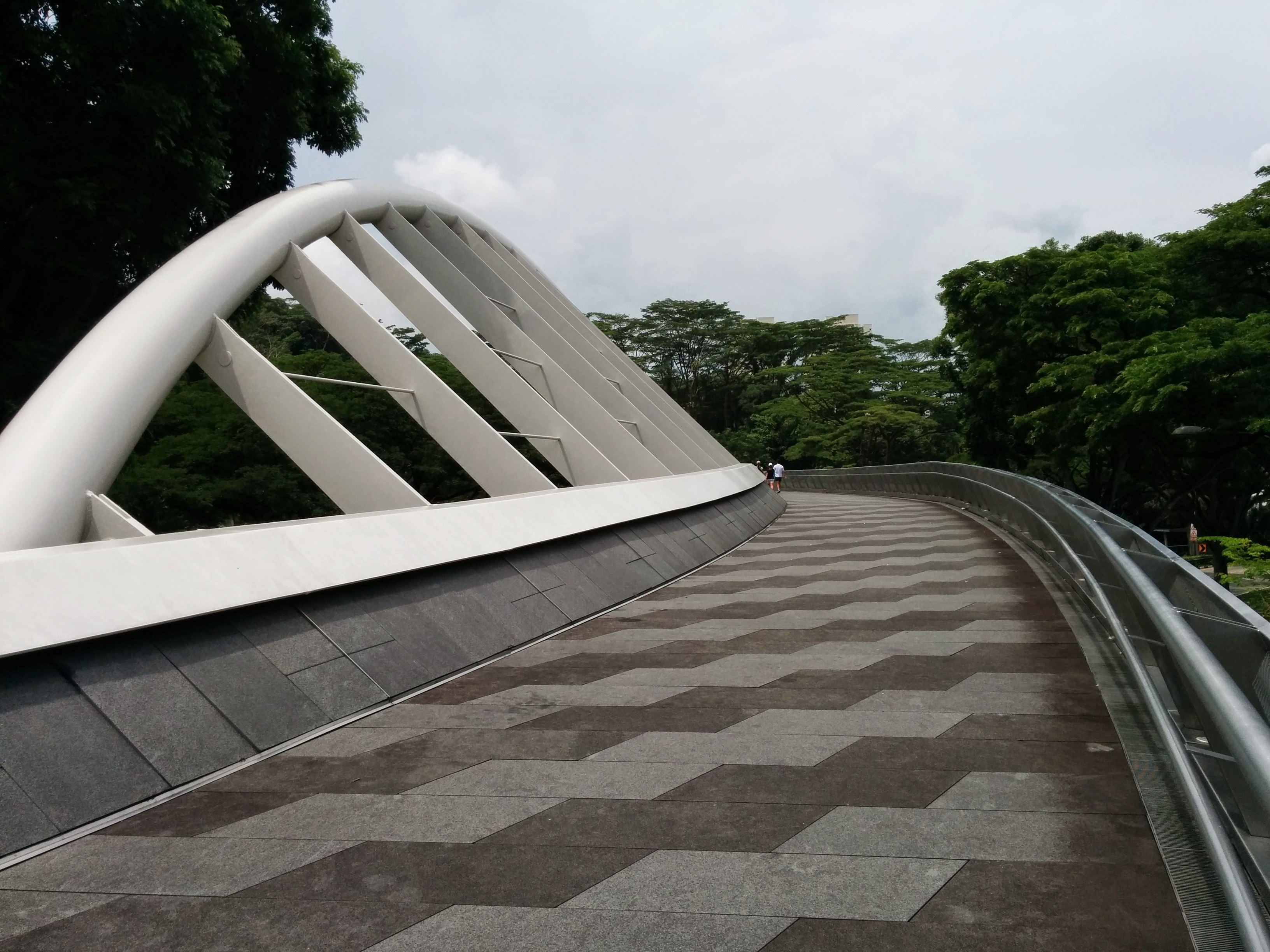
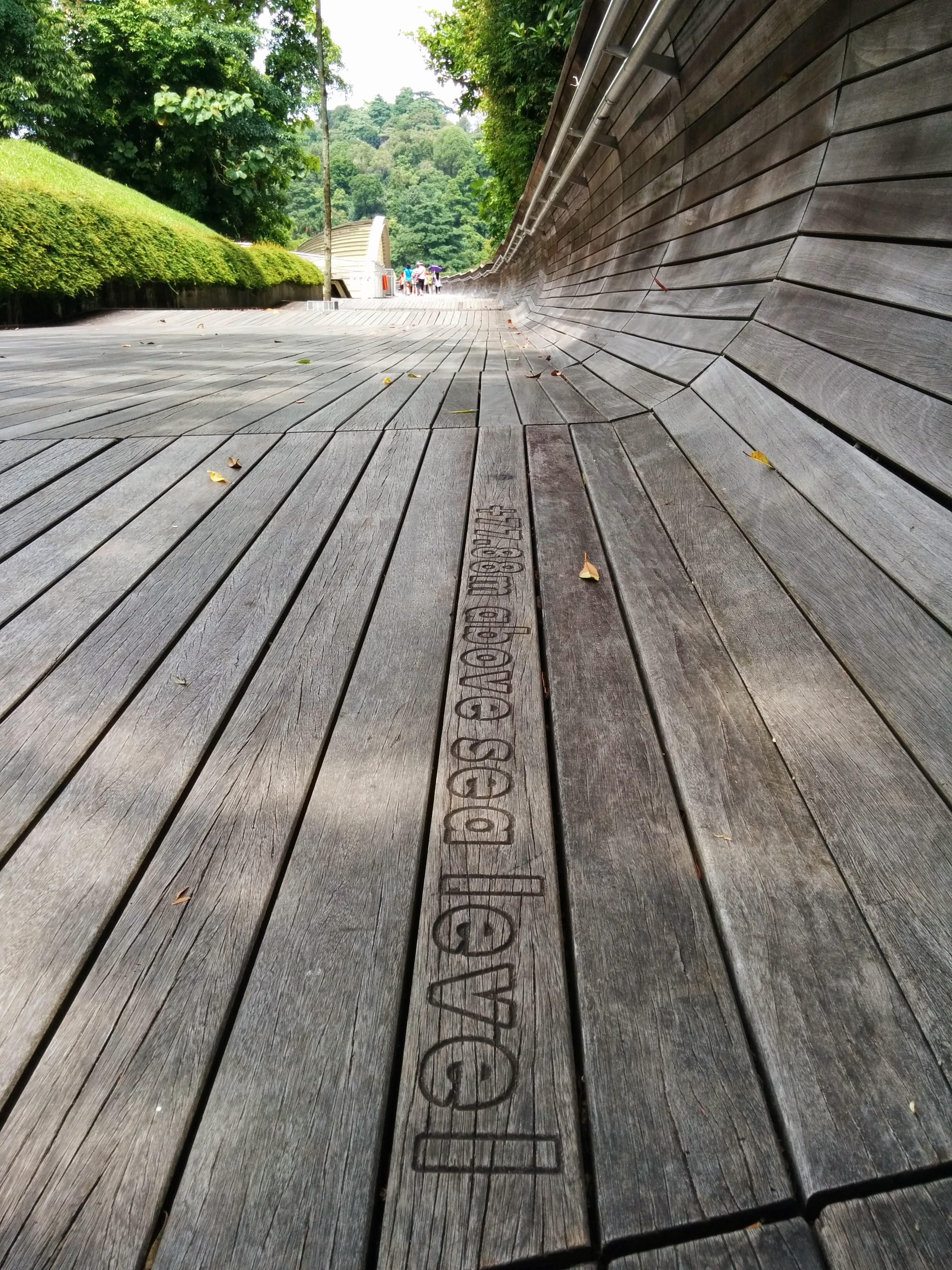
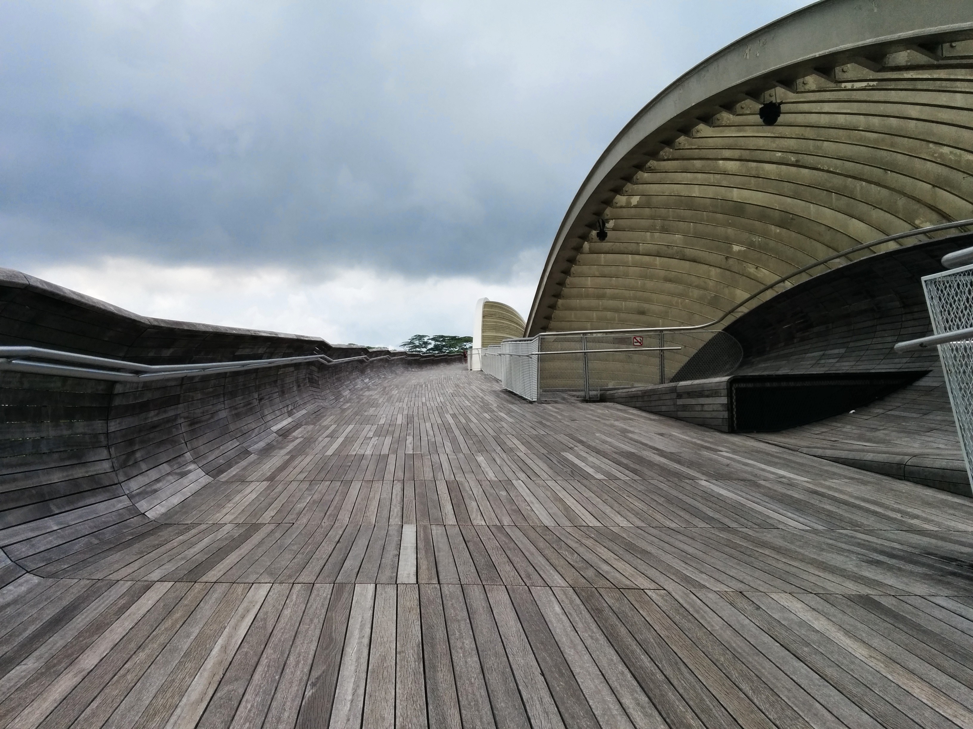
Henderson Waves is the highest pedestrian bridge in Singapore, I think it is around 30m above the Henderson Road below. The bridge is made from wood and has a wavy structure (hence the name), and it was pretty cool bridge, if you dont have a fear of heights!
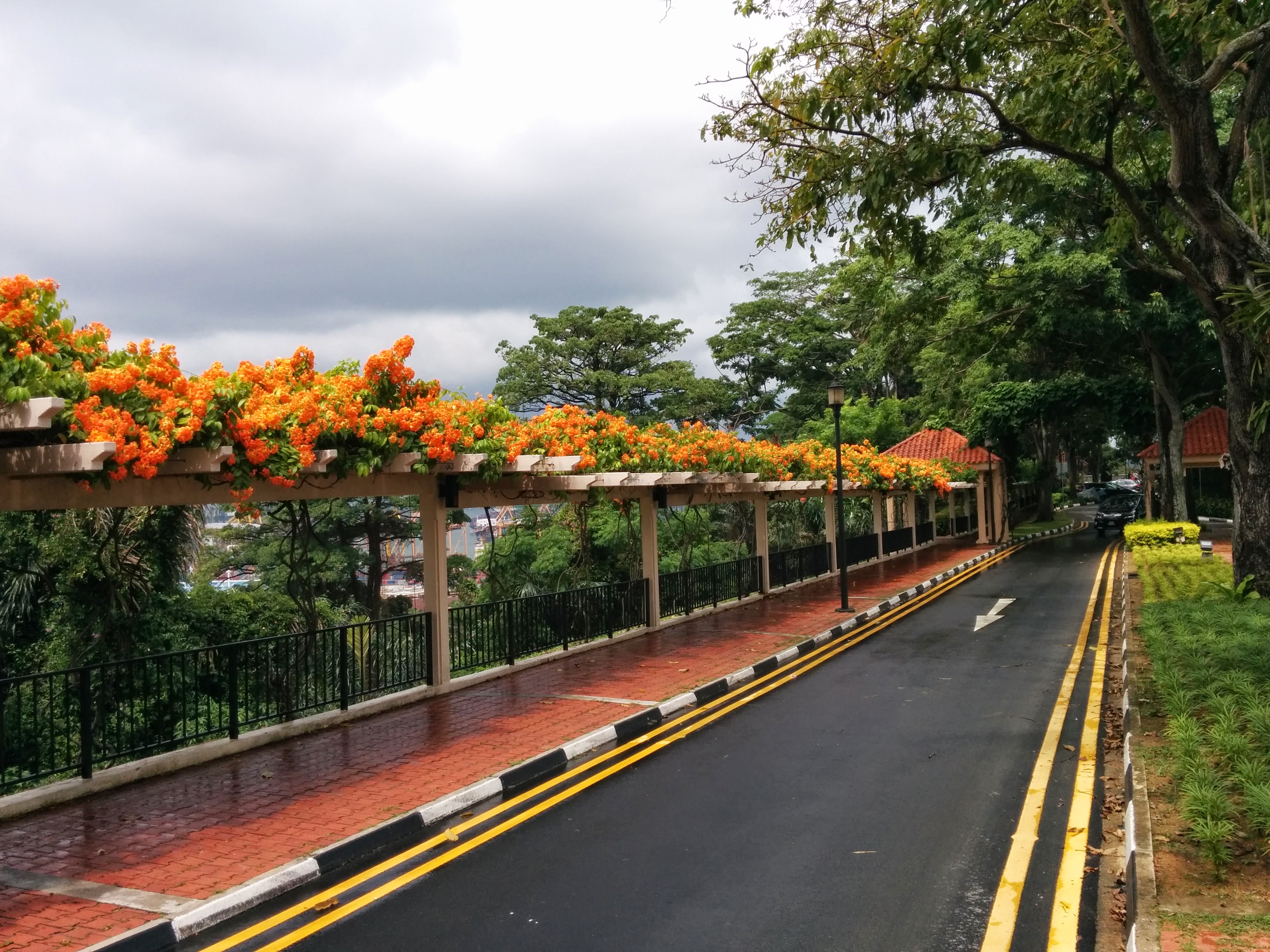
Mount Faber, as the name suggests, is located quite high above the ground. It is another beautiful park, where there are lots of high trees as well as restaurants, wedding places etc. Mount Faber also is the first stop of Singapore’s own cable car, that goes all the way to Sentosa. I didn’t have a lot of photos here, since when we arrived there was a freak rain that lasted for only 10 minutes, but enough to keep my phone in my pocket.
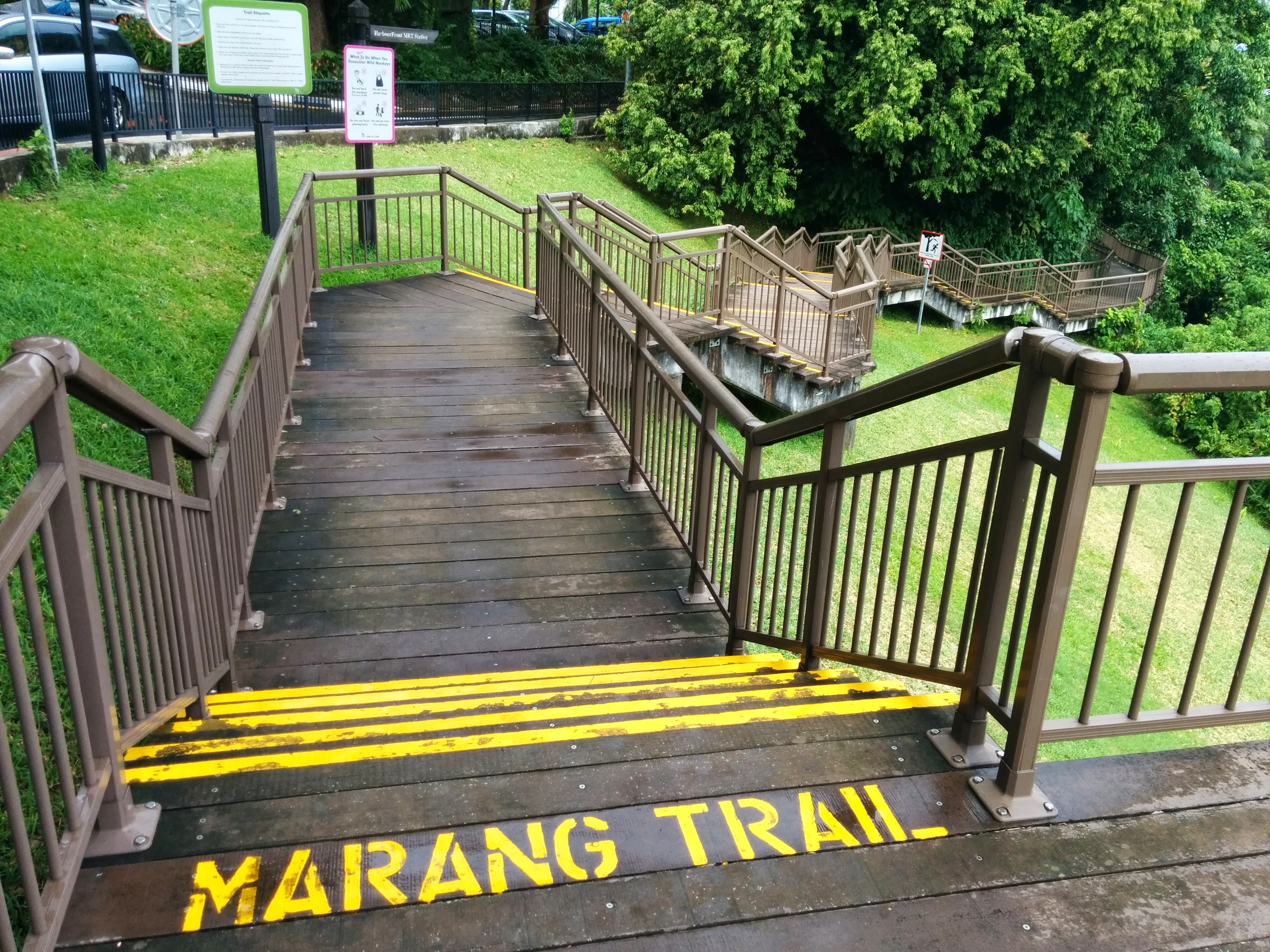
The last section was to find the Marang Trail, that connected Mount Faber and VivoCity (Harbourfront MRT to be exact). That was quite easily done since the road signs were clear. I thought Marang Trail was a totally nature trail, with soil and not pavements, but turns out most of the trail are paved already, which makes it easy to navigate. Furthermore going towards the Harbourfront was downhill, so walking through the trail was a breeze. The trail itself was not that long, maybe 10-15 minutes walk, and you’ll be amazed that a minute ago you were still walking along big canopies of trees, and the next minute you were out in the hustling bustling of Singapore!
This concludes our weekend. My afterthoughts of this walking trip is, actually you can do my two-day journey in a single full day.
Recommended route for this Southern Ridges in a single day:
1. Start early in the morning (around 9am) at Kent Ridge Park, explore there, ride the Canopy Walk and find your way towards Hort Park.
2. Explore Hort Park and go outside to Alexandra Arch.
3. Follow the Forest Walk, all the way to Hilltop Terrace at Telok Belangah Hill, and all the way to Mount Faber through Henderson Waves, ending in Marang Trail.
4. By that time it should be close to lunch time. Take your lunch in VivoCity/Harbourfront MRT. Seah Imm Food Center outside Harbourfront MRT is awesome.
5. From Harbourfront MRT, find the Carribean apartments, and walk along the Keppel Bay until you reach Labrador Park.
6. Spend your afternoon in a breezy Labrador Nature Reserve, maybe have a picnic there or something.
I think that’s the best route that I can plan of. And I have planned so that you have as much downhill walks as possible (Kent Ridge to Hort Park is downhill, Marang Trail is also downhill). I do omit the Haw Par Villa though, since I think the position of HPV is a little bit far out. If you do try this route, tell me how it goes! 😀
Until next post then…